One of the goals of the Appraising Risk partnership is to utilize data collected from diverse specialties and disciplines to analyze and visualize the complex relationship between environment, ecology, culture and history in the Indian Ocean World.
Maps and Visualizations
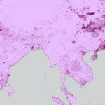
- India, Disease, 1848-1900: Cholera, Fevers, and Smallpox Time-lapses
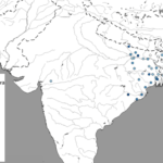
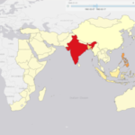
- Digitization of Indian Census Districts 1872 to Present
- Contemporary Cities and Villages
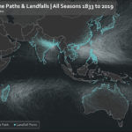
- Visualization of Cyclone Paths and Landfall Points 1833 – 2019
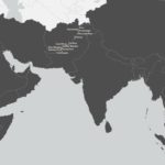
- Gazetteer Example: China Guangxi

- Gazetteer Example – Afghanistan
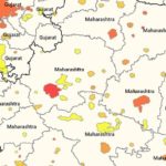
- Cholera Outbreaks 1957 to 1960
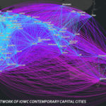
- Network of IOWC Contemporary Capitals
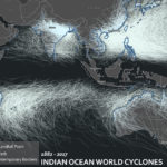
- Indian Ocean Word Cyclones, 1882-2017
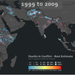
- Deaths in Conflict- 1999 to 2009
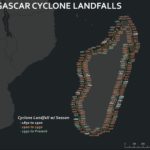
- Madagascar Cyclone Landings 1850 to 1900
- A Featured Visualization: Cyclone Landfalls in Madagascar
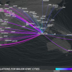
- Jakarta: Routes/Relations for Major IOWC Cities