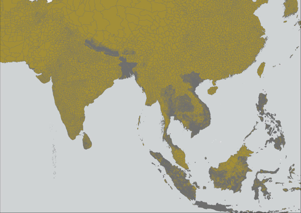
Geographic Information Systems, remote sensing platforms, and other geospatial tools are a critical element of the partnership. This team is composed of specialists in the use of mapping, surveying, and sensing tools and techniques, ranging from contemporary LiDar to novel applications of historical geospatial data
Team Leads: Margaret Kalascka and Grant Mackenzie
